Traffic Order Management System (TOMs)
TOMs is a system for managing map based traffic orders. It is developed for and is currently in use by local authorities in the UK - although the principles are applicable for any country. TOMs provides users with the facility to:
- View the current and proposed restrictions as at a given date
- Manage restrictions, i.e., create, edit and delete restrictions
- Print existing or proposed restriction details as at a given date
For authorities who are ready to move towards managing their traffic orders on a map based system.
Please get in touch of you would like to know more about TOMs.
Please get in touch of you would like to know more about TOMs.
TOMs is a python plugin to QGIS that relies on a connection to a postgres/postgis database.
It can be accessed as an internet service or installed on a local machine.
It can be accessed as an internet service or installed on a local machine.
TOMs has the following key concepts:
-
Restriction
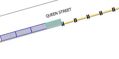
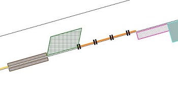
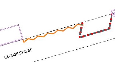
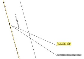
Restrictions are the lines and signs that exist on street. They are grouped into:- Bays
- Lines
- Signs
- Polygon Restrictions, e.g., parking permit areas
- Zones such as Controlled Parking Zones (CPZs) and Parking Tariff Areas (PTAs)
-
Proposal
This groups changes to restrictions and manages the acceptance process. Typcially, a Proposal would be put to public consultation. If it is accepted, the changes would be made together on a given date. -
Open-Close date
This is the date at which a Proposal is accepted and changes are made to the restrictions. New restrictions are opened and old restrictions are closed. -
Map Tile
A map tile is versioned according to the open/close date for any restrictions it contains.
Traffic orders have traditionally been managed in a paper-based format. The move to map-based orders requires:
- Parking restrictions mapped in digital form
- A system to view manage these restrictions
- modifications to legal base


